
Information
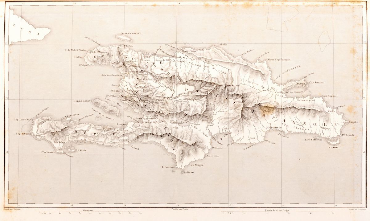
Paris, Paulin, Lheureux et C., 1859. In 2 °. With 66 geographic maps in black and white engraved in copper, of which several are double-page, scattered blooms, some reddening and light browning, coeval half-leather binding with marbled paper, title embossed in gold on the spine, front plate detached, rear loose , defects. Paper ex libris on the counterplate.
Specialist Notes
Interesting historical atlas that contains, among other things, 4 Italian geographical maps: Piedmont, Riviera di Genova, Valle d'Aosta, Alessandria and Marengo plain.
Contact
Condition report
To request a Condition Report, please contact libriestampe@finarte.it
The department will provide you with a general report of the condition of the property described above. Please note that what Finarte declares with respect to the state of conservation of the objects corresponds only to a qualified opinion and that we are not professional conservators or restorers.
We urge you to consult with a restorer or conservator of your choice who will be better able to provide a detailed, professional report. We always suggest prospective buyers to inspect each lot to satisfy themselves as to condition during the exhibition days as indicated in the catalog.
Suggested lots
Caricamento lotti suggeriti...
More Lots
295