Information
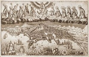
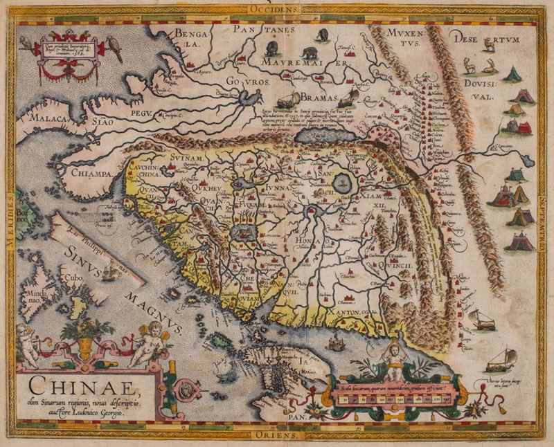
Carta geografica incisa in rame, [inizio secolo XVII], 365 x 470 mm, coloritura antica, piega centrale, lievi bruniture, piccolo strappo al margine bianco superiore, incorniciata.
Specialist Notes
Bella mappa con la Cina orientata con il nord a destra, che include anche parte dell'Indocina, Filippine e parte del Giappone. Sono visibili la Grande Muraglia, i campi tendati dei tartari, cervi ed elefanti. E' la prima mappa della Cina eseguita in occidente ed è tratta dal manoscritto realizzato dal cartografo portoghese Luis Jorge de Barbuda (Ludovicus Georgius) che raggiunse Ortelius tramite Arias Montanus.
Contact
Condition report
To request a Condition Report, please contact libriestampe@finarte.it
The department will provide you with a general report of the condition of the property described above. Please note that what Finarte declares with respect to the state of conservation of the objects corresponds only to a qualified opinion and that we are not professional conservators or restorers.
We urge you to consult with a restorer or conservator of your choice who will be better able to provide a detailed, professional report. We always suggest prospective buyers to inspect each lot to satisfy themselves as to condition during the exhibition days as indicated in the catalog.
Suggested lots
Caricamento lotti suggeriti...