
Information
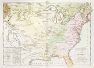
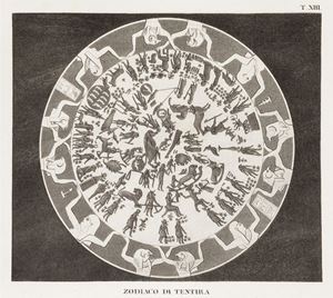
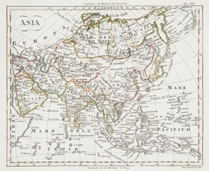
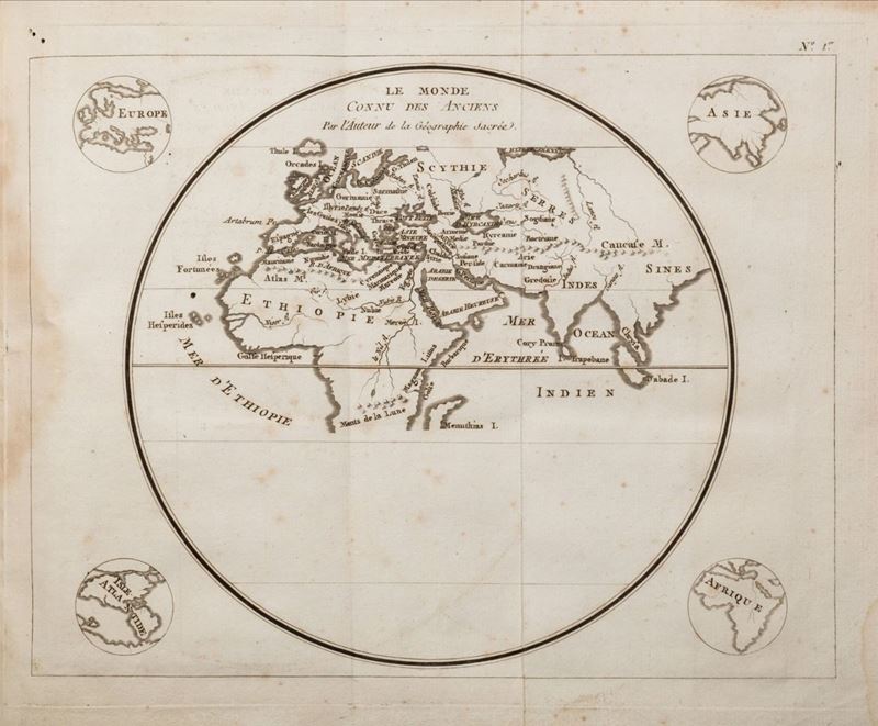
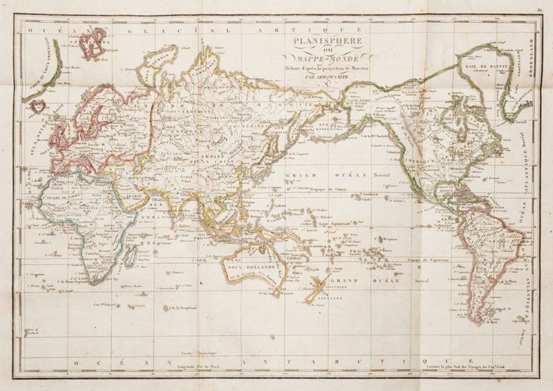
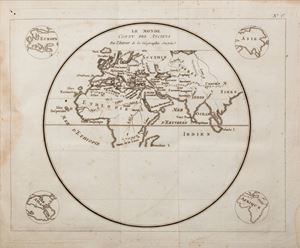
Parigi, Langlois, 1819. In 4°. 15 carte geografiche ripiegate a colori, arrossature e fioriture, gora d'acqua al margine superiore delle carte, legatura coeva in cartone blu, titoli su etichetta al piatto, perduto il dorso. § Joseph Romain Joly. Atlas de l’ancienne géographie universelle... Parigi, Lottin e Bertrand, 1801. In 4°. Esemplare su carta azzurra, 16 carte geografiche grandi ripiegate (di 18), qualche lavoro di tarlo, un lieve alone al margine interno, fascicoli C e D con rozzo restauro al margine superiore, legatura coeva in mezza pelle, titoli in oro su tassello al dorso, abrasioni ai piatti.
Contact
Condition report
To request a Condition Report, please contact libriestampe@finarte.it
The department will provide you with a general report of the condition of the property described above. Please note that what Finarte declares with respect to the state of conservation of the objects corresponds only to a qualified opinion and that we are not professional conservators or restorers.
We urge you to consult with a restorer or conservator of your choice who will be better able to provide a detailed, professional report. We always suggest prospective buyers to inspect each lot to satisfy themselves as to condition during the exhibition days as indicated in the catalog.
Suggested lots
Caricamento lotti suggeriti...