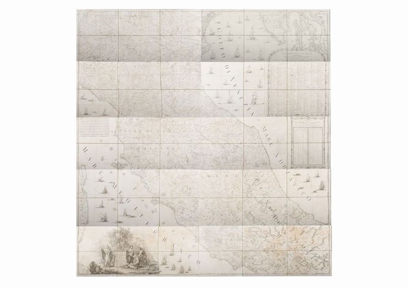

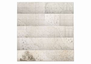

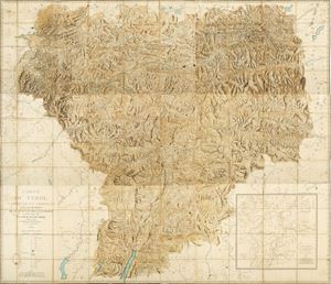
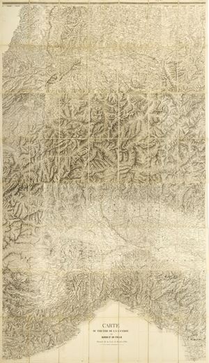
393
Cartografia - Stato Pontificio
Cassini, Giovanni Maria
The Ecclesiastical State divided into its provinces with the adjacent regions, 1805
Estimate
€ 600 - 800
Sold
€ 1.088
The price includes buyer's premium
Do you have a similar item you would like to sell?
Information
Rome, Chalcography Cam.le, 1805. Cm 195 x 187. Map divided into 10 parts with its own title, each consisting of 6 sheets 19 x 31 cm, with numerous ships, a large title cartouche, a cartouche entitled "Ancient geography" and a table of longitudes and latitudes, sheets on a green canvas, blooms and some slight reddening, two small woodworm holes in the table of part no. 4, in a coeval case in calfskin, title stamped in gold, partially detached lower part.
Specialist Notes
Monumental map that describes the Papal State and the adjacent regions such as the Gulf of Venice and Istria.
Contact
Suggested lots
Caricamento lotti suggeriti...
More Lots
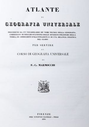
396
Francesco Costantino Marmocchi
Atlas of Universal Geography, 1838
Estimate € 450 - 600
Starting bid € 450