

Estimate
€ 2.900 - 3.000
Sold
€ 5.100
The price includes buyer's premium
Do you have a similar item you would like to sell?
Information
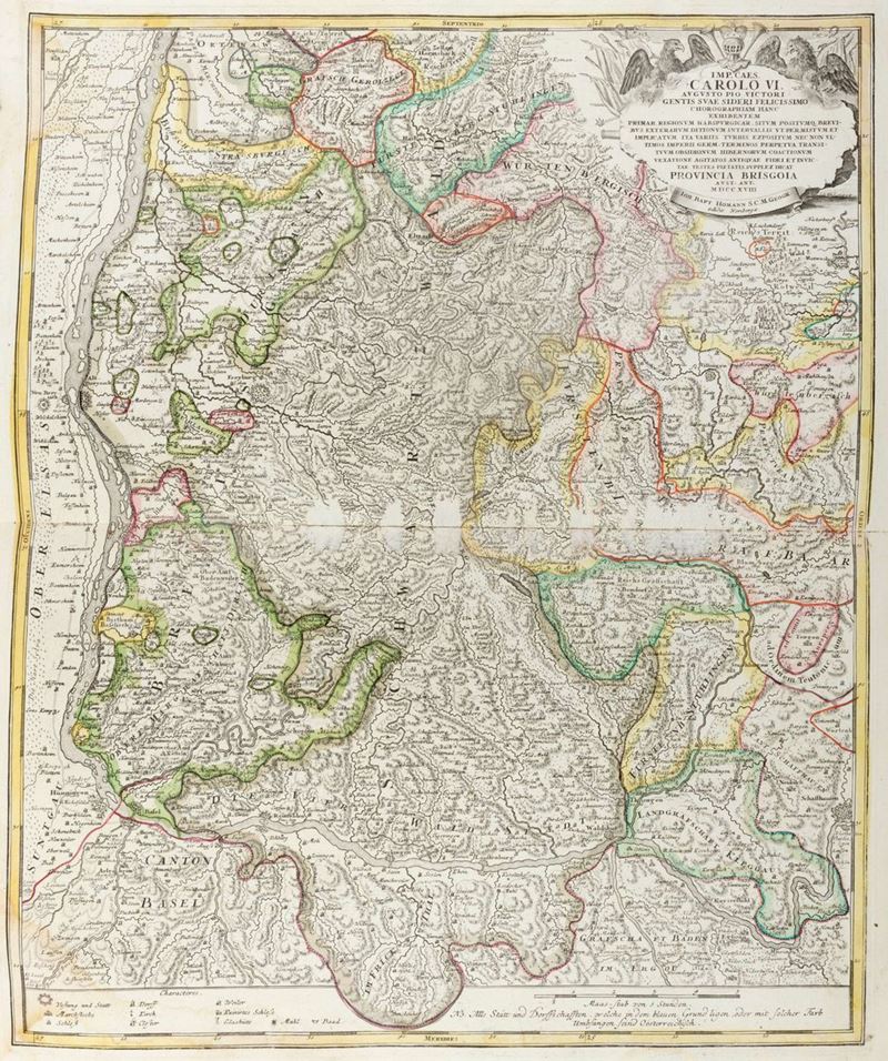
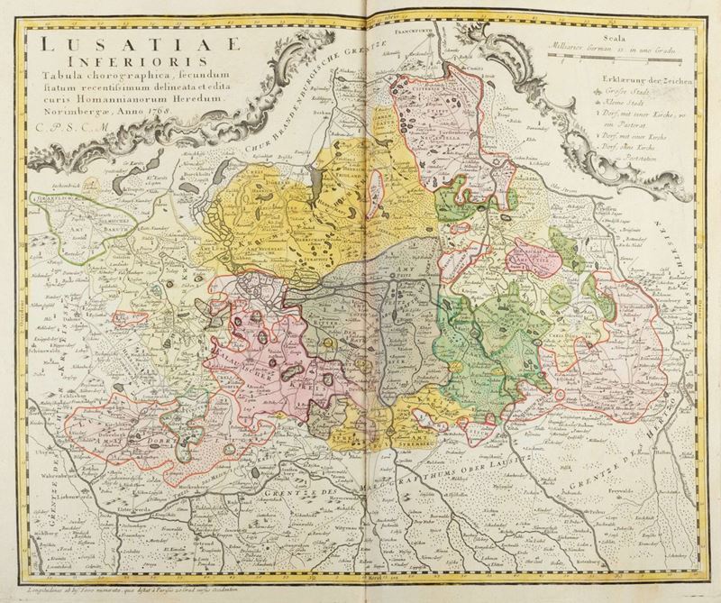
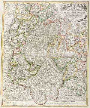
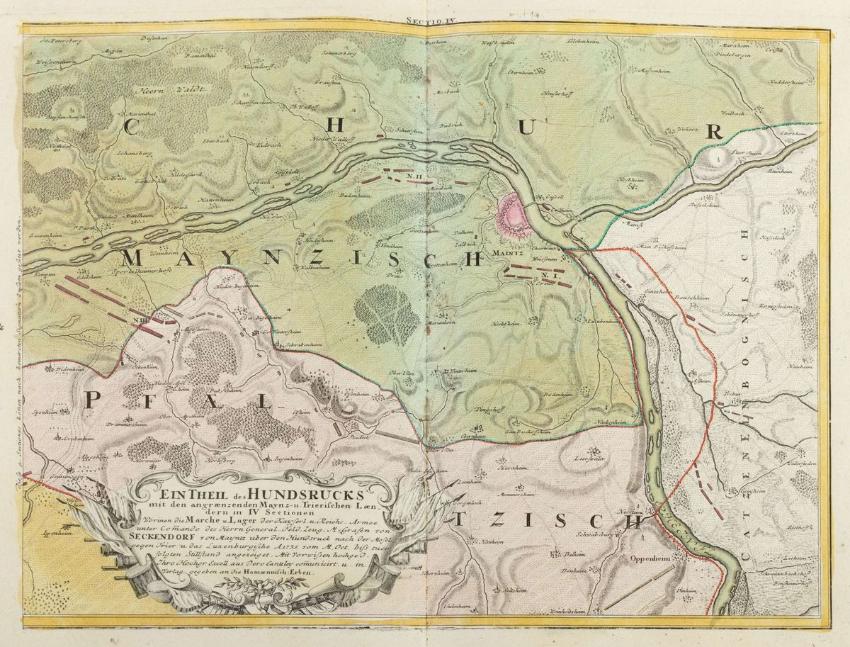
Nuremberg, Johann Baptist Homann, 1753. In 2 °. & nbsp; Allegorical title page in color, with 90 plates & nbsp; & nbsp; geographic maps engraved in copper with double page colored by coeval hand, some papers & nbsp; with defects and lacks, coeval binding in mottled calfskin, red leather gusset back with title and author in gold, defects and lacks.
Specialist Notes
Atlas complete with 90 geographical maps depicting the ancient Germanic and neighboring states including: Germany, Alsace, Baden, Hesse, Cologne, Mainz, Trier, Palatinate, Westphalen, Saxony, Franconia Svevis, Salzburg, Tyrol, Styria, Upper Austria and Lower Austria, Bohemia, Silesia and others. The cards were & nbsp; made by Muller and Schenk. Following the long Dutch rule, the Homann family became the most prominent in the publication of maps in Germany in the 18th century. The business was founded in 1702 in Nuremberg by J.B. Homann who after the publication of the first atlas in 1707 became a member of the Berlin Academy of Sciences and in 1715 was appointed Geographer of the Emperor. After his death, the business was managed by his son until 1730 and subsequently passed on to his heirs with the name, precisely, of Homann Heirs.
Lot not subject to restitution.
& nbsp;
Lot not subject to restitution.
& nbsp;
Contact
Suggested lots
Caricamento lotti suggeriti...