Information
120 x 49
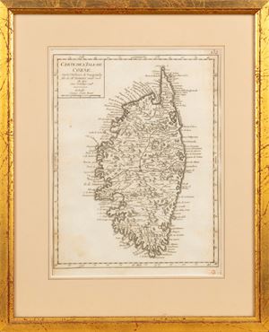
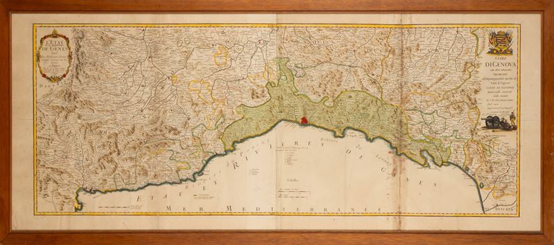
Large geographical map taken from the Atlas General , printed in Paris in 1747 and 1762. Finely watercoloured by a contemporary hand.
Large geographical map taken from the Atlas General , printed in Paris in 1747 and 1762. Finely watercoloured by a contemporary hand.
Contact
Condition report
To request a Condition Report, please contact libriestampe@finarte.it
The department will provide you with a general report of the condition of the property described above. Please note that what Finarte declares with respect to the state of conservation of the objects corresponds only to a qualified opinion and that we are not professional conservators or restorers.
We urge you to consult with a restorer or conservator of your choice who will be better able to provide a detailed, professional report. We always suggest prospective buyers to inspect each lot to satisfy themselves as to condition during the exhibition days as indicated in the catalog.
Suggested lots
Caricamento lotti suggeriti...