Estimate
€ 20 - 100
Sold
€ 26
The price includes buyer's premium
Do you have a similar item you would like to sell?
Information
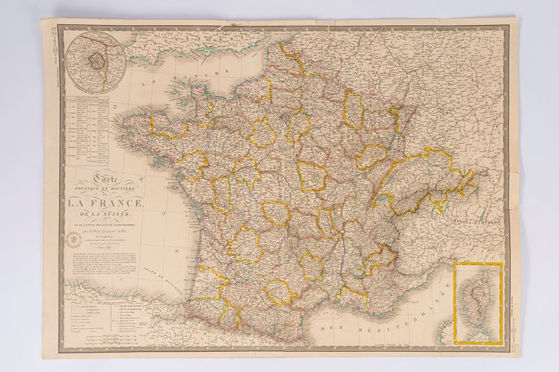
Engraved map with watercolored borders, Paris 1840, engraved part size: 70.7 x 51.5 cm (the entire sheet with margins: 75 x 53.3 cm). In good condition.
Specialist Notes
Map belonging to: ATLAS CLASSIQUE DE GEOGRAPHIE MODERNA compose' de 20 feuilles par A. BRUE' geographe du Roi, published in Paris: Chez Ch.les PIQUET in 1844.
Contact
Suggested lots
Caricamento lotti suggeriti...
More Lots

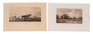
181
Corot, Jean-Baptiste Camille
Souvenirs from Tuscany, 1800
Estimate € 350 - 450
Starting bid € 350