Information
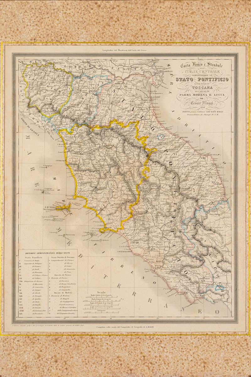
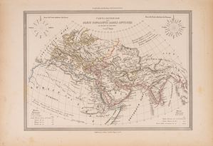
Map, Turin 1854, engraved and watercolored along the edges, engraved part 36 x 43 cm (entire sheet with margins 60 x 43 cm). Very light marginal browning but overall in good condition - Framed in dark wood (size 55 x 65 cm).
Specialist Notes
Map belonging to the UNIVERSAL ATLAS OF ANCIENT AND MODERN GEOGRAPHY compiled on the basis of the best astronomical documents and the discoveries of the most recent explorers by MAGGI E CASSELLA with the assistance of the Compendium of Geography by Adriano Balbi
Contact
Suggested lots
Caricamento lotti suggeriti...
More Lots
164
General map of the countries known to the Ancients at the time of Ptolemy, 1848
Estimate € 50 - 100
Starting bid € 50