Information
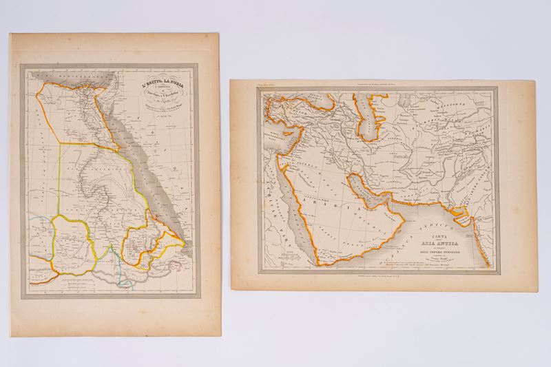
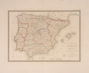
No. 2 engraved maps with watercolored borders, 1850, size each engraved part L. 25.2 x 33.5 cm. (the entire sheet with margins L. 29.5 x 43 cm.). Very light marginal browning but overall in good condition.
Specialist Notes
Maps belonging to the UNIVERSAL ATLAS OF ANCIENT AND MODERN GEOGRAPHY compiled on the best astronomical documents and following the discoveries of the most recent explorers by MAGGI E CASSELLA with the assistance of the Compendium of Geography by Adriano Balbi
Contact
Suggested lots
Caricamento lotti suggeriti...
More Lots
222