Estimate
€ 20 - 100
Sold
€ 26
The price includes buyer's premium
Do you have a similar item you would like to sell?
Information
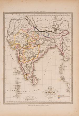
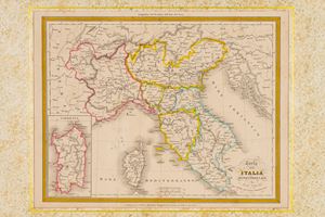
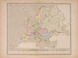
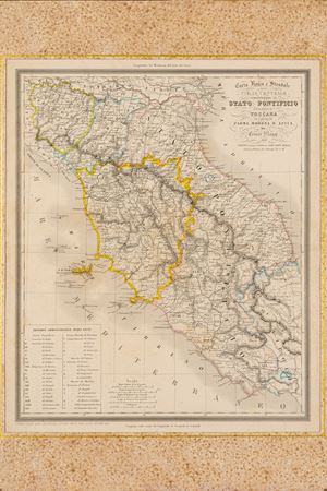
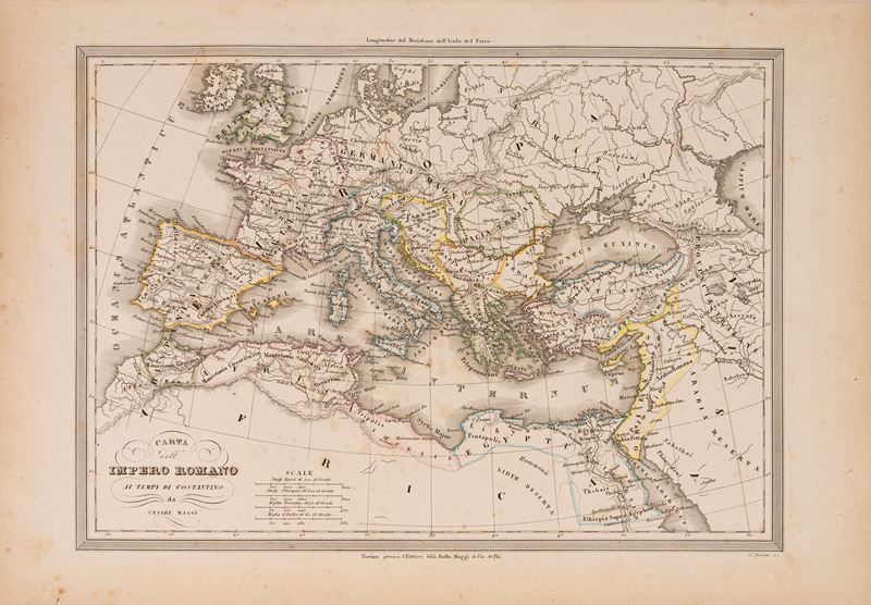
Engraved and watercolored map of the borders, Turin 1858, size of the engraved part L. 25.7 x 34 cm. (the entire sheet with margins L. 30 x 43 cm.). Very light marginal browning but overall in good condition.
Specialist Notes
Map belonging to the UNIVERSAL ATLAS OF ANCIENT AND MODERN GEOGRAPHY compiled on the best astronomical documents and following the discoveries of the most recent explorers by MAGGI E CASSELLA with the assistance of the Compendium of Geography by Adriano Balbi
Contact
Suggested lots
Caricamento lotti suggeriti...