171
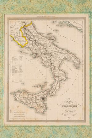
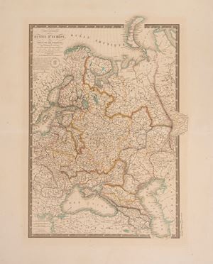
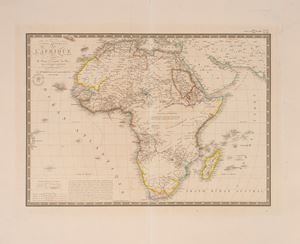
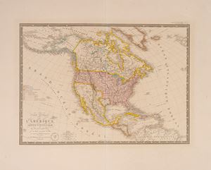
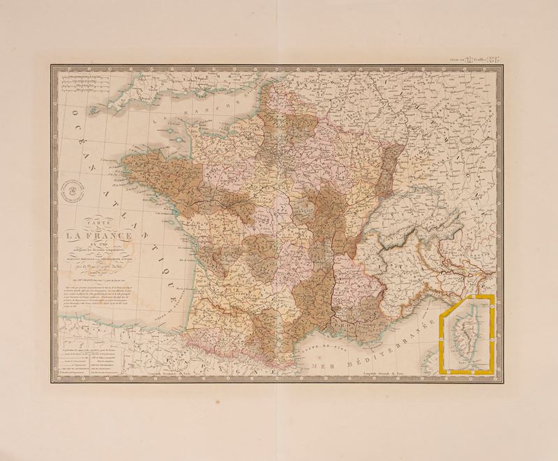
Map of France in 1789 indicating the comparative divisions of the Anciennes Provinces and the current Departments, 1844
Estimate
€ 20 - 100
Sold
€ 13
The price includes buyer's premium
Do you have a similar item you would like to sell?
Information
Engraved map with watercolored borders, Paris 1827 (but 1844 edition), engraved part size L. 51.3 x 36.3 cm. (the entire sheet with margins L. 64.5 x 53.3 cm.). In good condition.
Specialist Notes
Map belonging to: ATLAS CLASSIQUE DE GEOGRAPHIE MODERNA compose' de 20 feuilles par A. BRUE' geographe du Roi, published in Paris: Chez Ch.les PIQUET in 1844.
Contact
Suggested lots
Caricamento lotti suggeriti...