Information
Engraved map with watercolored borders, engraved part size: 51.5 x 36.5 cm (the entire sheet with margins: 64.5 x 53.3 cm). In good condition.
Specialist Notes
Map belonging to the UNIVERSAL ATLAS OF ANCIENT AND MODERN GEOGRAPHY compiled on the best astronomical documents and following the discoveries of the most recent explorers by MAGGI E CASSELLA with the assistance of the Compendium of Geography by Adriano Balbi
Contact
Suggested lots
Caricamento lotti suggeriti...
More Lots
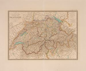
179
Carte physique et routiere des vings-deux cantons de la Suisse, 1839
Estimate € 60 - 200
Starting bid € 60
181